The country
Armungia rises on a hill at 366 meters above sea level, located in the Gerrei sub-region, an inland part of southeastern Sardinia marked by mountainous ridges and valleys that open onto the course of the Flumendosa river.
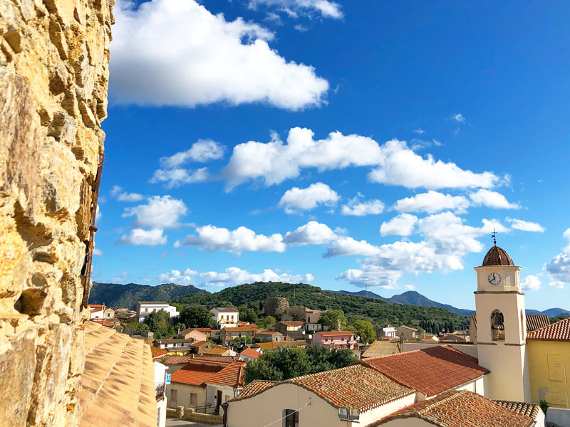
Armungia rises on a hill at 366 meters above sea level, located in the Gerrei sub-region, an inland part of southeastern Sardinia marked by mountainous ridges and valleys that open onto the course of the Flumendosa river.
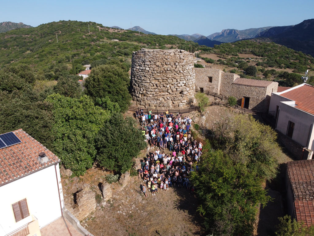
The origins of the centre are linked to Nuragic civilisation, as evidenced by the nuraghe that still stands within the town today, incorporated into the urban fabric. Traces from the Roman and Byzantine periods attest to the continuity of settlement over the centuries. The historian Alberto Boscolo placed Armungia among the famous castra felicia, fortified centres erected in the early medieval period to control the boundaries between Barbaricini territories and areas subject to Byzantine rule. The name would thus derive from Aurea Moenia, "Walls of gold". According to Massimo Pittau, the toponym would instead indicate the ancient dedication of the centre to Harmonia, the Greco-Latin goddess of love and concord.
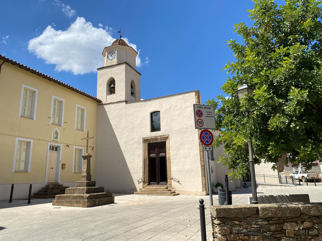
During the Middle Ages, the village belonged to the judgedom kingdom of Cagliari, included in the curatorship of Galilla, named after its ancient Roman inhabitants, the Galillenses. After the Catalan-Aragonese conquest of Sardinia (1324) and the centuries-long conflict with the judgedom of Arborea, on 18 August 1456 Armungia was granted as a fief with the other towns of Gerrei to the Zatrillas family. The period of Spanish rule saw the construction of the Immaculate Church, whose original structure, in late-Gothic style, dates to the end of the 16th century. Inside it preserves a baptismal font and a holy water stoup in carved sandstone from the first half of the 1600s, a bronze bell from 1668 and various pieces of sacred silver from the centuries between the 17th and 19th.
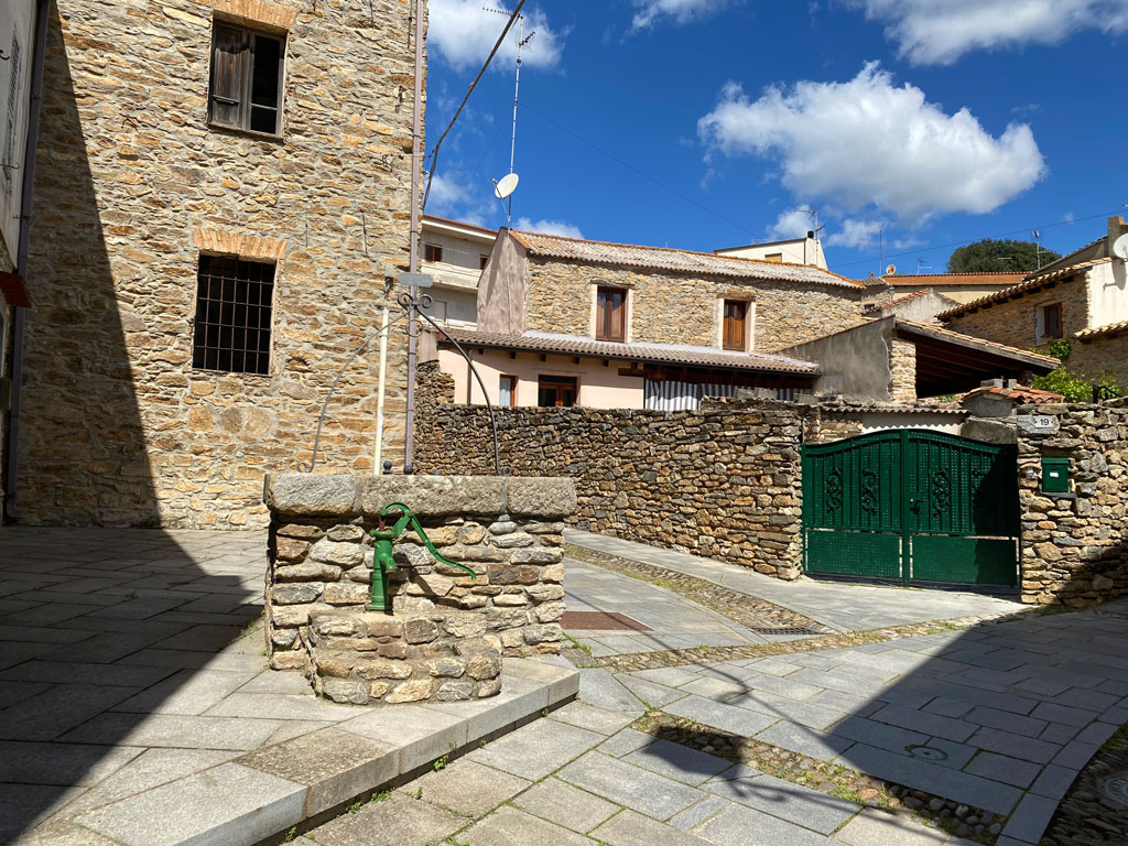
Along the streets of the town are various examples of stone houses, typical of an agro-pastoral economy. The most central and frequented places in the town were in the past the town hall square (Pratz'e s'Ofitziu), the Church square (Pratz'e Cresia) and the small public well square (Pratz'e Funtana). Daily animated by women and children who went there for water, the small well square had the value of a modern social space overlooked by the wine shop and other important craft shops, such as that of the blacksmith.