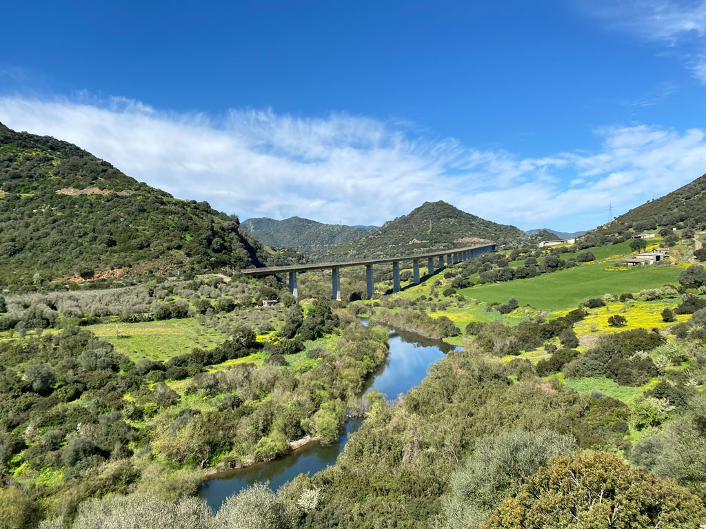
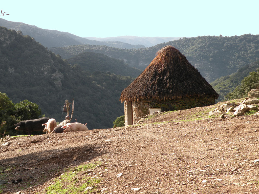
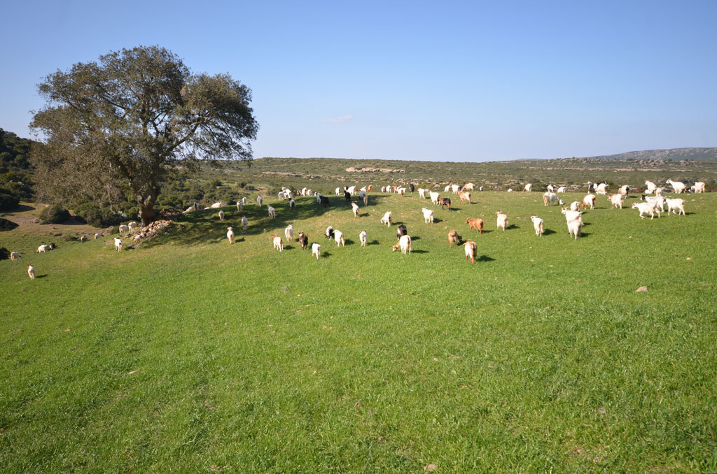
The territory of Armungia is marked by the course of the Flumendosa river, which has separated since ancient times the part of the settlement from the area of the large forests of Murdega, historically important for livestock farming, big game hunting and the production of charcoal. Walking along the forest paths, you can still find today the remains of numerous charcoal kilns, important traces of the activity of sawyers and charcoal makers once engaged in the production of wood charcoal. In this area you can also find the ruins of the Sa Lilla Mine, active for several decades between the nineteenth and twentieth centuries and intended for the extraction of galena and blende.
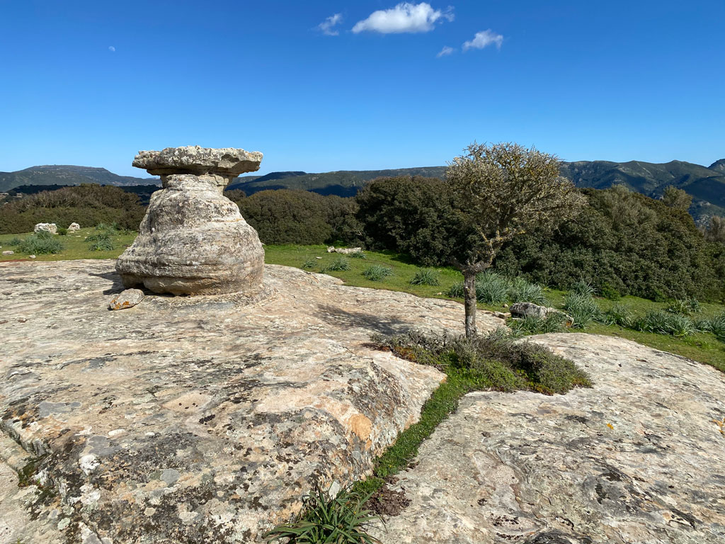
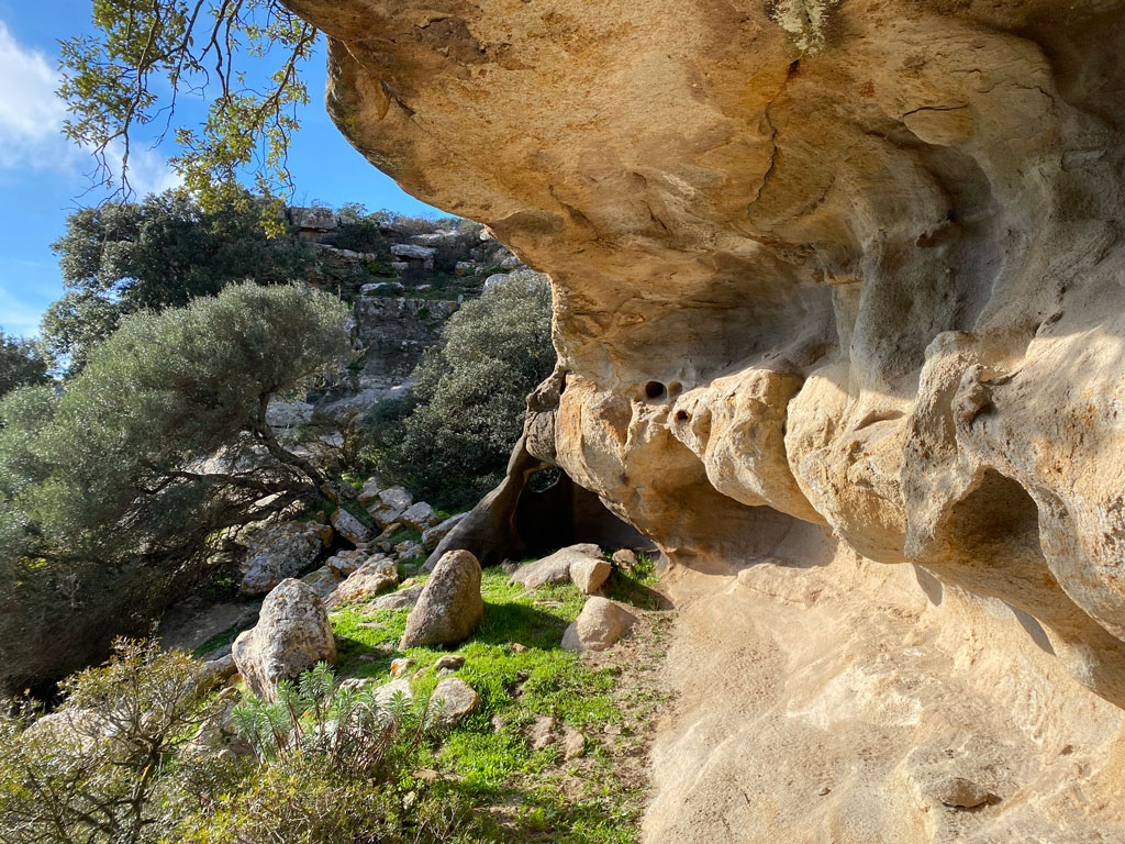
Beyond the Flumendosa, in the highest part of the municipal territory, is located the plateau of S'Ilixi Durci and Sa Perda Lada, a vast table of sandstone rock formed from a shallow sea of the Eocene, marked by erosion that over the millennia slowly produced crevices and natural monuments of striking beauty.
Here it is also possible to admire the oldest archaeological testimonies of the territory. In the S'Ilixi Durci locality, in an open and wind-swept plain, there is an area of circular tombs from the Copper Age (3rd millennium B.C.), marked by dense stones that were meant to indicate the sacredness of the area. Among the 14 nuragic structures mentioned by Abbot Vittorio Angius in 1833, besides the Nuraghe Armungia, the Nuraghe Turrigas appears to be of particular interest, a corridor nuraghe erected in a dominant position just outside the settlement, towards the east.
The territory of Armungia is crossed by the CAI Italia Trail and is therefore an ideal destination for excursions and trekking. Following the route of the Italia Trail it is possible to start from the Flumendosa valley to reach Sa Mola and the plateau of Sa Perda Lada, or start from the settlement to reach the mining village of Su Suergiu in Villasalto, following the path once used by Armungia miners.